Enhancing Underground Utility Mapping: The Journey of FuzionView
In 2017, Gopher State One Call (GSOC) reached out to the Emergency Preparedness Committee (EPC) of the Minnesota Geospatial Advisory Council to explore ways to enhance the use of geospatial technology in the underground utility sector. This initiative sparked a series of discussions that led to the formation of the Underground Utilities Mapping Project Team (UUMPT) in early 2020.
The UUMPT, consisting of over 25 members from various sectors of the underground Facility Operator (FO) community, has been diligently working on a groundbreaking project since mid-2021. They have been developing a software solution called "FuzionView," which aims to revolutionize how underground utility data is visualized and shared.
In October 2022, the UUMPT achieved a significant milestone by successfully demonstrating a prototype of FuzionView. This prototype showcased the software's ability to create an on-the-fly, web-mapped view of all utility infrastructure within a designated dig area—a first-of-its-kind achievement in the United States.
In 2023, GSOC partnered with SharedGeo, a Minnesota-based geospatial research and development nonprofit, to develop a production version of FuzionView. This version will be deployed across Minnesota and released as open-source software. By doing so, the project partners aim to leverage decades of advancements in geospatial technologies that have been underutilized in the underground utility community.
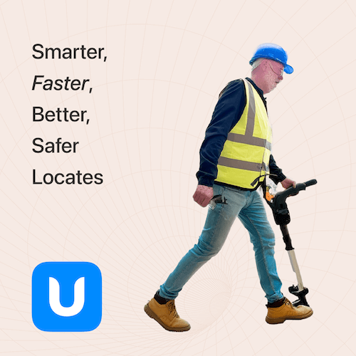
The project is driven by a diverse team of industry stakeholders committed to improving locate efforts. The core idea behind the project is that technical barriers should not hinder the sharing of underground asset data among the 811 "call before you dig" community. The FuzionView project facilitates the sharing of geographic data at the feature level between participating underground facility operators and 811 call ticket requests.
Join us to learn more about the progress of this exciting project and see where we are heading with the development of FuzionView. This GSOC-sponsored initiative is set to make a significant impact on the underground utility mapping landscape, enhancing safety and efficiency across the industry.