

Utility Locates and mapping go hand in hand and as the industry continues on the road to zero damages we expect the need to improve accuracy and features within mapping to increase. Just knowing something unseen exists isn’t enough!
Having access to your data isn’t enough anymore, now you need to see it. And specifically that means you want to see it on a map. Viewing locate tickets, and utilities on a map makes it easier to leverage the data that locators collect and make it more accessible to field staff, and utility owners. If you can’t remember something, then you don’t really know it, and so it goes for utility asset information; if you can’t find it, you don’t really have it!
“There is a utility strike in North America every 10 seconds on average”
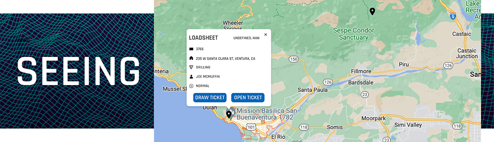
SEEING
Finding documents and visualizing your project by viewing everything on a map is a better approach as you get more information in a more digestible format. Map based software is the perfect vehicle for advanced locate packaging. If you can access a project right from the map, you know where it is and can build visual context as you view the map. This would allow you to view the locates real-world location, geo-locate thousands of photos, and view the status of field work in real-time. In addition Dispute Resolution is made a lot easier when you have accurate mapping, and can present your data in a visual manner. Finding what utilities were located and marked with geo-located photos provides more data and more traceability.

SHARING
As more and more utility owners and municipalities leverage internal Geographic Information Systems, locators need to reciprocate and provide utility asset mapping information - they need to know exactly where their infrastructure is! Many times utility owners don’t have their documents tied to digital mapping systems, now you can provide this information to them and they can build up their mapping database. This will drive down damages and make you (the locator) more valuable to your clients.
The common denominator of a map based ticket system makes the handoff between office admin and locator in the field easier too. They’ve got the same data with potentially different views but the map allows field and office to keep everything organized and accessible - meaning fewer mistakes or omissions and thus damages!

STREAMLINING
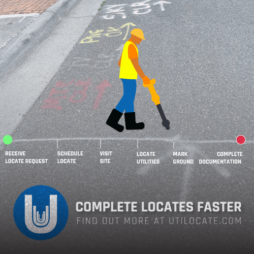
Having all the information accessible from a map view streamlines communication and keeps work moving forward. Everything a locator in the field needs to know is linked together in a simple form and then made accessible whether they are online or offline. Locators can capture photos in the field and have them link to a locate package and automatically geolocate all on their phone and in a few seconds. Another opportunity for streamlining work processes for locators with mapping is routing! Powerful mapping algorithms can help determine the optimal route for doing the maximum number of locates in the minimum amount of time - enhancing time efficiencies and helping your locator to focus on locating!
“A Purdue University study, found that for every dollar spent on utility detection, companies can save $4.62.” Now just imagine how much you can save by improving how you perform and manage your locates!
If you’re interested in learning about our mapping capabilities and how we integrate GIS, ESRI and Google Maps with locate ticket management then get in touch at kyle@competers.com
NEWS ROUNDUP
RECENT POSTS


LATEST FROM NO DAMAGE


Share this Post