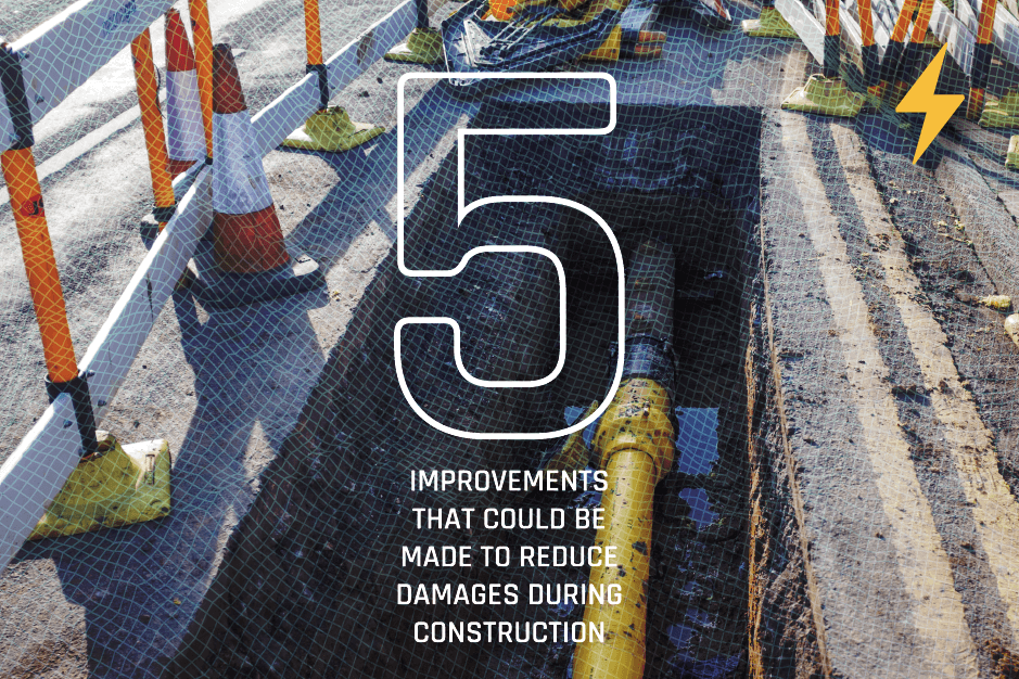
The road to zero damages is not an easy one, but where there's a will, there is a way. Whether through government mandates, economic incentives or a drive for safety the rate of damages has been decreasing and the membership of organizations like the CGA have been growing.
In this NoDamage article I'm going to focus on 5 measures that could be implemented across North America to protect critical infrastructure and reduce damages. Many of these have been fully implemented, partially implemented or trialled in other regions of the world. So without further ado here are 5 ways which I think could make an impact:
- Reliable statistics are essential to determine the societal impact of underground utility damage and the effectiveness of policies. Every incident of damage to underground infrastructure should be reported including injuries, fatalities and direct cost. Indirect costs are very difficult to estimate but the Digging Up Britain recently calculated the cost to be 29x higher than the direct costs! One option for doing this efficiently is to classify incidents by seriousness and assign different levels of reporting based on this classification. This is already done in the pipeline industry where PHMSA assigns levels of seriousness based on cost, consequence, injuries and fatalities. It may be a good idea to mandate this reporting as that would enforce compliance and provide a fuller picture of what is happening.
- Assigning quality levels to underground infrastructure. This would ideally be based on a generally accepted quality standard and is critical for determining the type of excavation equipment that it is appropriate to use. When doing a locate this kind of information could be collected, and then the One Call / 811 Center or ticket management systems could assign the quality level. In addition, assigning a quality level to underground infrastructure could provide the basis for a shared liability model. An example of this would be CSA S250 in Canada.
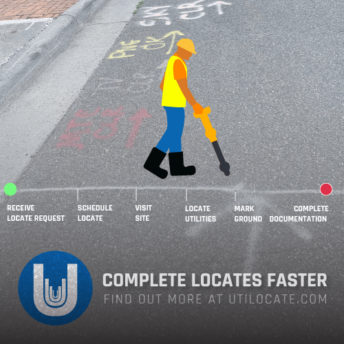
- Digital twinning should be mandatory. This would entail collecting and sharing the location of infrastructure discovered as a result of a SUE survey at the start of a project or as a result of a One-Call / 811 information request. Currently, utilities are required to mark the ground and in several states/provinces provide a paper drawing identifying the position of underground utilities. This data must be collected digitally and disseminated. Many locators already perform this with their TMS, such as Utilocate, although it is not required, and some TMSs fall short. The goal is to create a high-quality (QL A and B) database of subterranean infrastructure locations that can be shared with stakeholders throughout time. This could coincide with adopting BIMs into Utility Locates and/or adopting a generally recognized standard for sharing information about the subsurface. The Open Geospatial Consortium is developing MUDDI which is an underground information exchange standard, intended to provide an open standards-based way to share information about the below ground.
- Speed up Updates - An efficient process to update the information recorded in utility owners' databases is really needed to ensure safe digging. Information captured as part of a SUE survey, as a result of an information request to One Call / 811, or detected during excavation may differ from the records contained in utility owners' databases. For continuous improvement of the quality of the information about the location of network facilities requires an efficient way to compare and update this information. There are two dimensions to updates: the accuracy of the location information given from the field and the update backlog, or the time it takes for changes to be recorded into the utility GIS. The backlog really needs to be met with swift action. For example, the U.K. requires backlogs to not exceed 42 calendar days for as builts.
- An improved shared liability model would provide motivation to all stakeholders to take appropriate action and incentivize damage mitigation. For example a utility owner could locate underground infrastructure and designate as Quality Level A according to the ASCE 38-2 standard. When an excavator hits it, the excavator would be liable if the facility was where the utility owner said it was. However if it's not where the utility owner stated then they would be liable. Where underground infrastructure exists that is assigned to level C or D, the cost to bring all infrastructure to quality level B would lie with the utility owner, as it already does right now with North American one-call systems. If the utility owner declines to do this, the liability for any underground damage would lie with the network operator. If all new facilities are located to survey quality, location accuracy will increase over time. If the as-built location information is wrong, a liability model would allocate culpability for any subsurface damage during later excavation to the utility owner. This is an evolution of our current system and should improve accountability across the board.
These methods could reduce the likelihood of subterranean utility damage and the related public risk during construction, lowering insurance costs! Furthermore, they may result in increasingly precise digital representations of the location of essential subsurface infrastructure, which could be made available to stakeholders in utility maintenance, utility outage management, disaster planning, emergency response, and smart city initiatives. As we've seen from Hurricane Ian, our critical infrastructure is only one disaster away from huge interruptions; having accurate digital mapping could make a huge difference.
If you'd like to learn more about Competers Inc or our products, then check out our website here: competers.com. We make damage prevention software and NoDamage is part of our efforts to encourage safe digging and reduce damages.
RECENT POSTS

LATEST FROM NO DAMAGE


Share this Post