
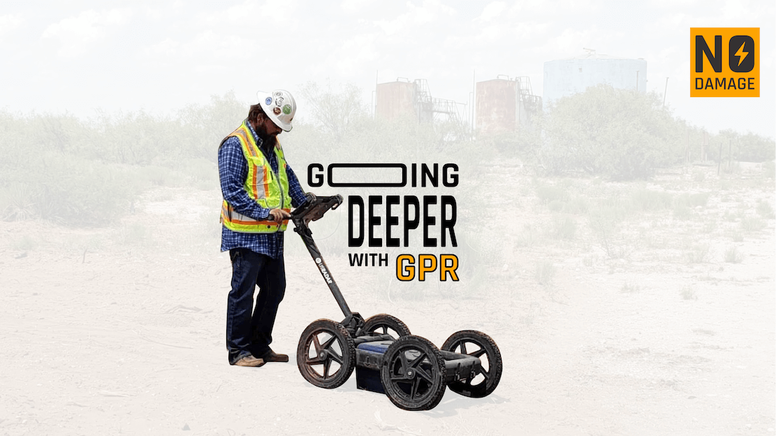
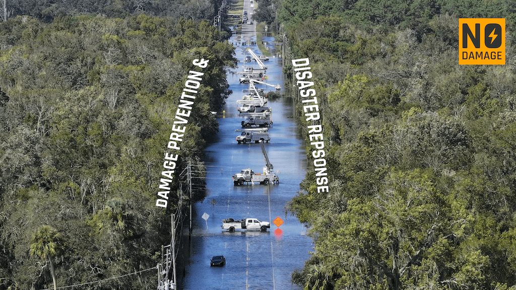
The efficient and accurate identification of underground utilities is a critical aspect of modern infrastructure planning and development. Accidental damage to utility lines during construction or excavation can lead to costly delays, environmental hazards, and potential risks to public safety.
To address this challenge, the Model for Underground Data Definition and Integration (MUDDI) was created by the OGC.
"A group of data scientists at the Open Geospatial Consortium is behind a working group that formed the MUDDI concept. Its purpose was to create an international standard for mapping geospatial data underground." Geplus.
MUDDI is a comprehensive framework designed to integrate, organize, and visualize diverse underground utility data within a unified system. It leverages cutting-edge technologies such as geographic information systems (GIS), remote sensing, data mining, and machine learning algorithms. By collecting data from various sources, including utility providers, local municipalities, construction companies, and geographic survey agencies, MUDDI creates a centralized repository of underground infrastructure information.
It's being used right now in the UK's NUAR (National Underground Asset Register) and is showing some promising results.
Here's how a utility locator could benefit from utilizing MUDDI:
- Access to Comprehensive Data: MUDDI provides a centralized repository of underground utility data. A utility locator can access this repository to gather comprehensive information about the location, type, and characteristics of underground utilities. This data may include water pipes, gas lines, electric cables, telecommunications networks, and more. Having access to such comprehensive data helps the utility locator make informed decisions during the locating process.
- Improved Accuracy: By leveraging MUDDI's integrated and standardized data, a utility locator can improve the accuracy of their locating efforts. They can cross-reference the information available in MUDDI with their on-site observations, ensuring that they have the most up-to-date and accurate data about the utilities they are trying to locate. This reduces the chances of misidentifying or damaging underground infrastructure during excavation or construction activities.
- Visualization Tools: MUDDI utilizes visualization tools, such as interactive maps and geospatial representations, to present underground utility data. A utility locator can use these tools to visualize the underground infrastructure in the area of interest. This visual representation helps them understand the spatial relationships between utilities, identify potential conflicts or overlaps, and plan their locating strategy accordingly.
- Conflict Identification and Resolution: MUDDI assists utility locators in identifying potential conflicts between existing utilities and new construction or excavation projects. By visualizing the underground infrastructure and comparing it with proposed plans, the locator can identify areas where utilities may intersect or overlap. This information enables them to take appropriate measures to avoid conflicts, adjust the excavation plans, or coordinate with utility providers for necessary relocations.
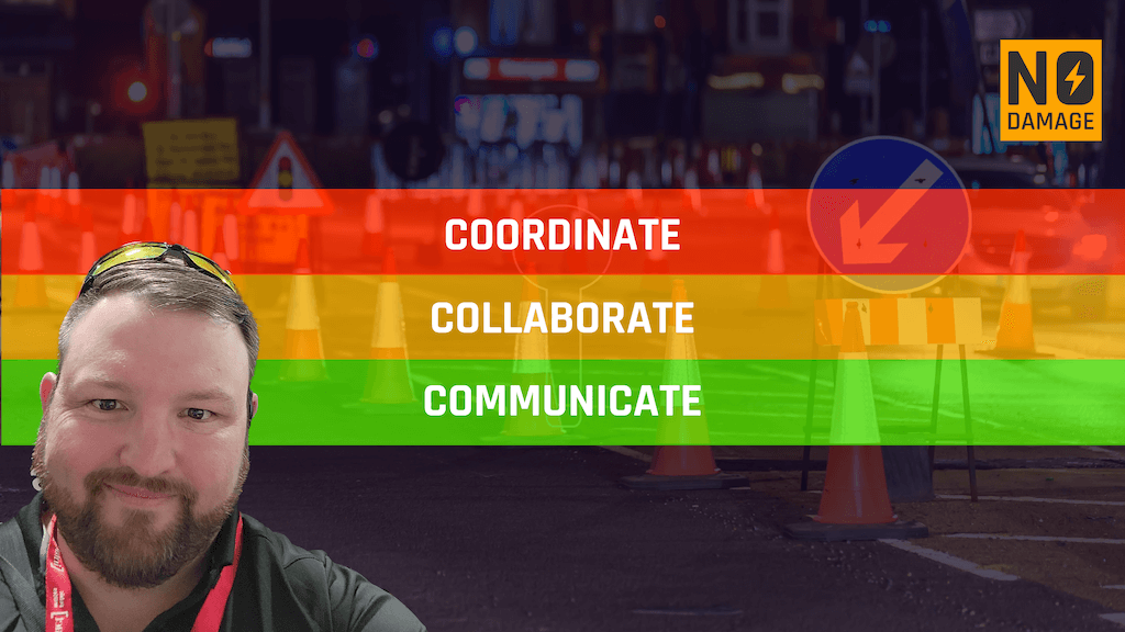
- Collaboration and Communication: MUDDI promotes collaboration and communication among stakeholders involved in utility management and infrastructure development. A utility locator can use MUDDI to share their findings, update utility data, and communicate with other professionals involved in the project. This facilitates effective coordination, reduces redundancies, and ensures that all stakeholders are working with the most up-to-date and accurate information.
- Predictive Modeling: Depending on the capabilities of MUDDI, utility locators may be able to leverage predictive modeling features. By analyzing historical utility data and incorporating machine learning algorithms, MUDDI can help predict the potential presence of utilities in unexplored areas. Utility locators can use these predictive models as an additional resource in their locating efforts, allowing them to make more informed decisions and focus their efforts in areas where utilities are likely to be present.
MUDDI represents a transformative approach to underground data definition and integration. Its international applications in urban planning, emergency response, and cross-border infrastructure collaboration have already showcased its potential. In utility locating, MUDDI can revolutionize the current practices by centralizing data, integrating and visualizing information, and employing machine learning techniques. By leveraging MUDDI's capabilities, we can enhance the accuracy, efficiency, and safety of utility locating processes, ultimately leading to improved infrastructure development and reduced risks for society at large.
Reference: OGC

RECENT POSTS


LATEST FROM NO DAMAGE
Share this Post