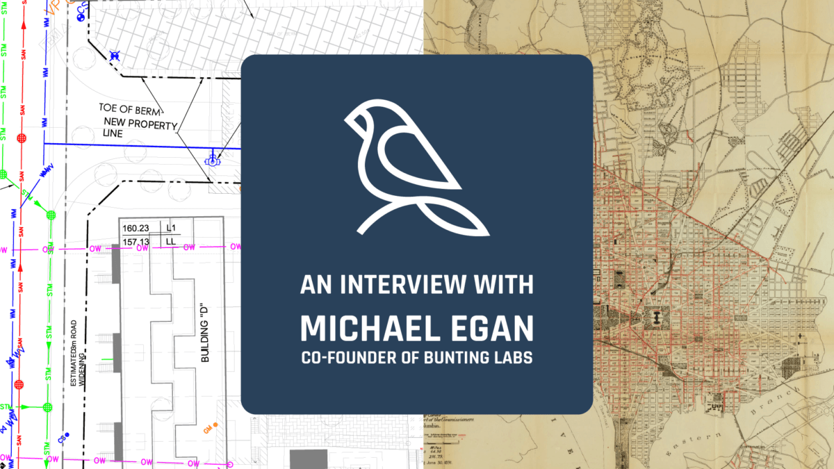
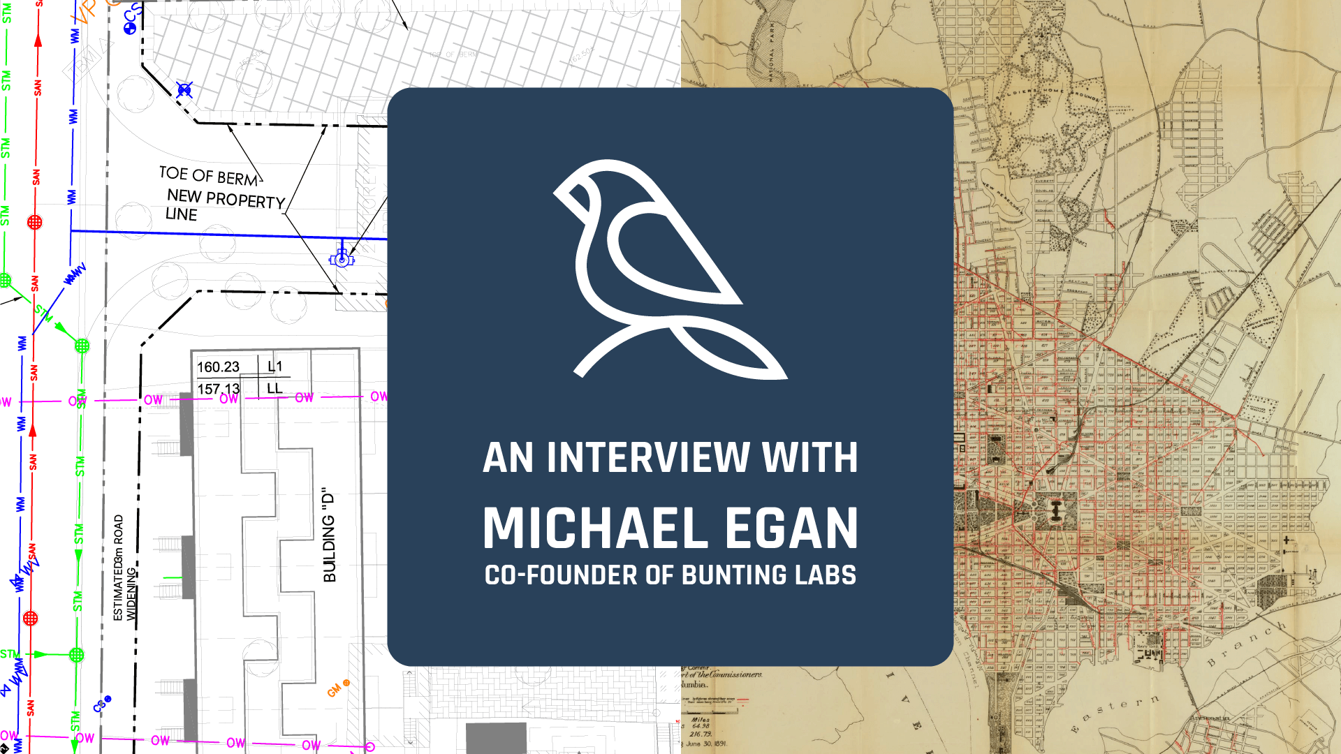
Bunting Labs, a San Francisco-based startup co-founded by Michael Egan and Brendan Ashworth, is on a mission to accelerate map digitization using AI. The fusion of mapping, digitization, and AI intrigued me, prompting a conversation with Michael to delve into their technology and explore potential applications in the realm of damage prevention.
Here's how it went:
A CHAT WITH MICHAEL
Shane: Give us some background on you and why you started Bunting Labs?
Michael: Brendan and I had worked on a startup that leveraged geospatial data for valuing real estate, and found that geospatial data was particularly hard to work with. When we began talking to GIS professionals to get a better understanding of the current state of geospatial data, we heard almost every time that too much geospatial data is saved and shared as a PDF. I spoke with people who have years of experience and masters degrees in GIS who would tell me they either have to spend time hand tracing PDFs or would explain the endless headaches of keeping the data as a PDF. After hearing story after story of how PDFs wasted significant amounts of time, we wanted to see if we could use AI to help quickly turn PDFs into geospatial data.
Shane: How does Bunting Labs utilize AI to digitize maps, and what inspired the inception of this innovative approach?
Michael: We built an AI to be an autocomplete for line tracing. When you start tracing utility lines in a PDF map, the AI identifies the line and completes it for you, based on a curated dataset of millions of GIS geometries. We were really inspired by so-called “sequence” models, like ChatGPT, and thought about how we could bring the same techniques to GIS and CAD.
Shane: What potential do you see in AI-driven digitization for improving damage prevention measures concerning underground utilities?
Michael: I think the greatest impact that AI-driven digitization will have is improving access to QL-D data in the planning stage. A trend we’ve seen is that it is far more common to use QL-D data in the planning stage in Europe than in America, but QL-D data usually comes as a PDF from the utilities. This makes it time consuming and therefore costly to add QL-D CAD utility lines and keep them updated in the planning stage, even if it has demonstrable cost savings down the road. But, if you can slash the time spent converting QL-D PDFs into CAD line work then it suddenly becomes much more accessible to all sizes of projects.
Shane: How does Bunting Labs ensure the accuracy and reliability of the AI-generated maps, especially in identifying and precisely mapping underground utility networks?
Michael: We ensure accuracy two ways. First, by creating an autocomplete rather than a tool where you put in a PDF and it spits out line work, there is always an expert making sure the output is exactly correct. Second, we ensure accuracy by making it our single most important metric (quite literally, as our AI trains itself to focus on accuracy above all else). The reason we have spent nearly an entire year just fine tuning the AI before releasing it is because we understand the need for accuracy. We also continually review our data to make sure the AI is always becoming more reliable and accurate. This means that the AI can speed up digitization because the pro rarely has to make corrections, but that person is still in control to make sure utility lines are precisely mapped.
Shane: What challenges have you encountered in implementing AI for underground utility mapping, and how have you navigated or mitigated these challenges?
Michael: An AI for digitizing PDF maps has proven to be a surprisingly complicated engineering problem. It took some clever engineering from our CTO Brendan and investment in higher quality data to get the AI to follow and stay focused on the right line. This is especially important in our case because if an AI generated line is too far off then it starts to take more time to fix than it would have been to draw the line by hand.
Shane: Could you discuss any collaborations or partnerships with utility companies or industry experts to enhance damage prevention using your AI-driven map Digitization?
Michael: We’re currently just beta testing, so we would want to discuss with our beta users before we talked about our partnerships here.
Shane: How does Bunting Labs envision its technology contributing to the safety and resilience of underground utility infrastructure in the long term?
Michael: Our long term vision is to continue to make the process of working with PDFs faster and faster until it’s just as fast as using CAD or a Shapefile. As we make PDFs, and therefore QL-D data, easier to work with, we see the cost of using QL-D surveys going down dramatically until using QL-D in the planning stage is the obvious choice.
Shane: Are there specific AI-driven predictive capabilities in your technology that could foresee potential risks or vulnerabilities in underground utility networks, aiding in proactive damage prevention?
Michael: While we don’t currently do any of that, we do know that digital twins and AI- driven predictive analytics are becoming increasingly powerful and popular. A big question we have when we see these sorts of solutions, though, is how is data being entered into the software? This always brought us back to thinking that the first most pressing problem we could address is how much data is locked in paper, and once you go from paper to a digital format you can then start using these more advanced pieces of software.
Shane: Can you share any success stories or case studies where your technology has significantly improved damage prevention strategies for underground utilities?
Michael: No field stories since we have not launched publicly yet.
Shane: Looking ahead, what advancements or developments do you foresee in the integration of AI-driven map digitization for the prevention of damage to underground utility networks?
Michael: I think that very soon text-based AI like ChatGPT will dramatically increase the amount of information you can instantly pull from a PDF map. With the ability to extract metadata about utility lines (pipe material, diameter, etc.) being one of our most requested features, and with how fast AI that can read text and process images are advancing, it’s only a matter of months until we can do that.
You can find out more about Bunting Labs on their website: https://buntinglabs.com/ and follow them on social media here:
Michael's LinkedIn
Brendan's LinkedIn
- Note: Bunting Labs have not released their AI publicly and are putting the finishing touches on it, so there are no examples of its use on live maps yet.
RECENT POSTS
LATEST FROM NO DAMAGE

Share this Post