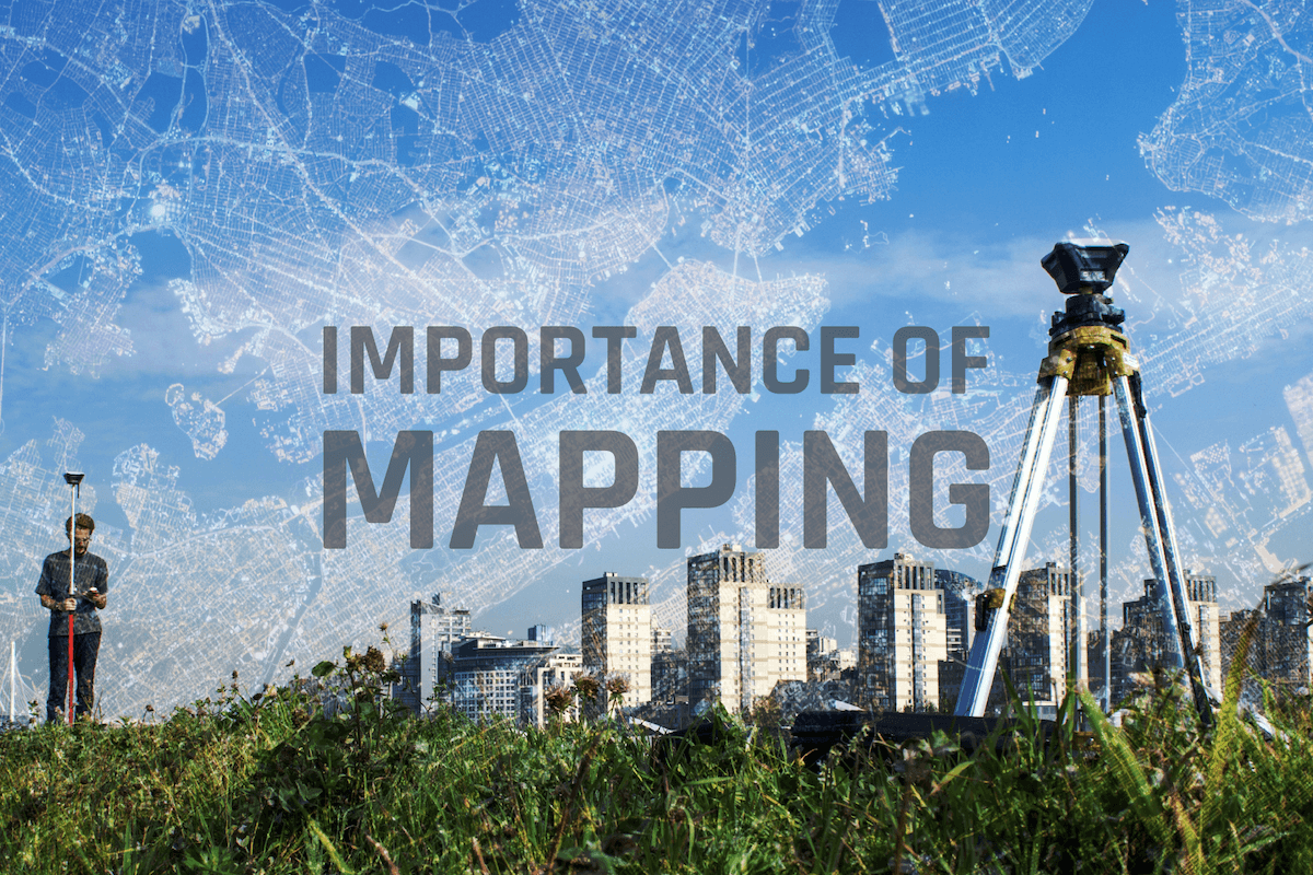
Mapping is a crucial tool in protecting underground utilities from damages. Accurate maps can help prevent accidents, outages, and other issues that can arise from damaged utilities. These maps can be used to identify the location and type of underground utilities, as well as any potential risks or hazards. This information is crucial for protecting these important infrastructure systems and ensuring that they are not damaged by construction, excavation, or other activities.
One of the primary ways that mapping helps to protect underground utilities is by providing a clear and accurate representation of the location and type of these utilities. With this information, those working on or near these utilities can take the necessary precautions to avoid damaging them. For example, if a construction crew is aware that there are gas lines in the area, they can take extra care to avoid hitting them with heavy machinery. Similarly, if there are electrical lines in the area, workers can take steps to ensure that they do not come into contact with them. This data can be fed into 811 ticket management systems to help locators also.
Mapping can also help to identify potential risks and hazards associated with underground utilities. For example, maps may show areas where the soil is particularly unstable or prone to landslides, which could pose a risk to underground utilities. Similarly, maps may show areas where there is a high water table, which could lead to flooding and damage to utilities. By identifying these potential hazards, those working in these areas can take the necessary precautions to protect the utilities.
Another important aspect of mapping is that it can help to minimize the impact of accidents and outages. If an underground utility is damaged, it can take a significant amount of time and resources to repair it. Accurate maps can help to minimize the impact of these types of issues by allowing workers to quickly locate and access the damaged utility. This can help to reduce downtime and minimize the disruption caused by the accident or outage.
The UK has a national register for underground assets, which provides a platform for uniting utility mapping data into one centralized place. NUAR as it is known, "will provide a consistent, interactive digital map of buried asset data, accessible when, where and how it is needed by those planning and executing excavations on behalf of underground asset owners." CUIR is an effort in North America to do the same, and we're putting together an article right now on it to explain its mission, purpose and scope!
In conclusion, mapping is an essential tool for protecting underground utilities from damages. By providing accurate and up-to-date information on the location and type of these utilities, as well as any potential risks or hazards, maps can help to prevent accidents and outages, and minimize the impact of these types of issues when they do occur.


RECENT POSTS


LATEST FROM NO DAMAGE

Share this Post