
The utility sector is a dynamic arena where choices have far-reaching consequences. In this context, Geographic Information Systems (GIS) have emerged as invaluable tools, enabling us to enhance decision-making processes through the visualization of project data within a geospatial context. The transformative potential of GIS technology is still being under utilized, particularly in proactively preventing damages and optimizing project management. In addition there I an opportunity to integrate GIS better with advanced ticket management systems, such as Utilocate, which can elevate the utility of GIS data, fostering efficient collaboration and precision.
Empowering Decision-Making through Geospatial Context
GIS offers a multidimensional perspective that transcends traditional data representation methods, revealing intricate patterns and relationships. By coupling construction data with geographic insights, GIS empowers professionals to make informed choices grounded in a comprehensive understanding of their surroundings. An example of this....
Pioneering Proactive Approaches with GIS
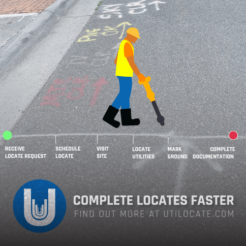
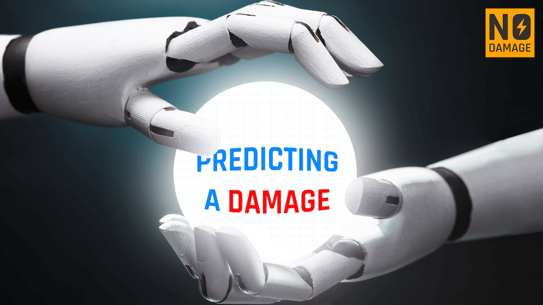
A hallmark of GIS in construction is its potential in preemptive damage prevention. By overlaying utility data onto geographic maps, construction teams gain early visibility into potential conflicts and hazards. This transition from reactive to proactive methodologies reduces risks, financial burdens, and operational disruptions. With the goal of the Common Ground Alliance to reduce damages by 50% in five years, GIS serves as a beacon guiding the industry towards this ambitious target. Whether you use ESRI, or an alternative - having a layered map data that can be visualized and connected is a powerful tool. Check out this video on how to use ArcGIS for damage assessment using deep learning:
Effective project management hinges on streamlined communication and resource allocation. Here, GIS emerges as a silent coordinator, facilitating optimized site selection, resource distribution, and logistics planning. The visual representation of data simplifies communication among stakeholders, fostering a unified understanding of project dynamics. This alignment mitigates delays, supports budget adherence, and ensures projects are delivered with precision.
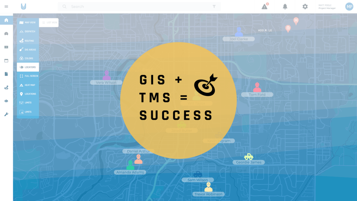
Utilocate: A Nexus of GIS and Collaborative Decision-Making
The integration of a ticket management system, with GIS further enriches decision-making in the construction sector. For example Utilocate (with which I am most familiar) acts as a conduit, translating GIS insights into real-time, collaborative actions. Stakeholders benefit from synchronized access to spatial data, enabling them to identify potential conflicts promptly and allocate resources strategically. This convergence fosters a proactive mindset and cultivates a culture of efficient, collaborative execution.
Navigating the Future with GIS and your TMS
In the realm of construction, foresight is invaluable. As the industry strives for progress and efficiency, GIS technology, fortified by Utilocate's collaborative platform, emerges as an indispensable asset. Informed by the potential to prevent damages, optimize project management, and adhere to industry targets, this combined approach paves the way for a future where decisions are not just strategic but also proactive. By leveraging these advanced tools, construction professionals can ensure that each choice contributes to a safer, more efficient, and resilient industry.
RECENT POSTS


LATEST FROM NO DAMAGE


Share this Post