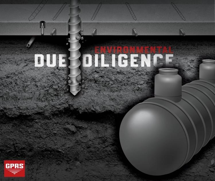
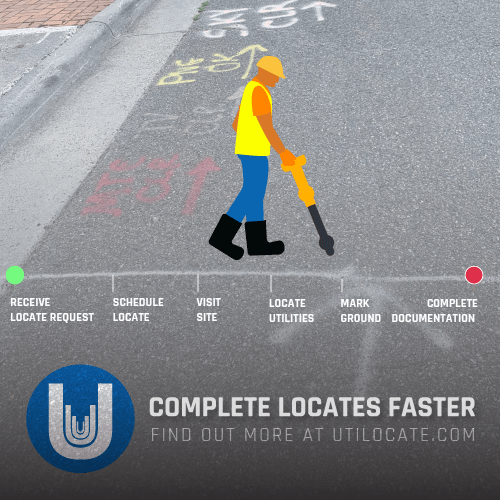
Addressing complex environmental issues like PFAS contamination, LUST sites, and soil pollution near Laundromats requires a thorough approach. Central to this approach is the necessity for accurate utility maps, which play a crucial role in addressing contamination across diverse sites. Whether tackling PFAS contamination at airports, remediating leaking underground storage tanks at gas stations, or mitigating soil pollution around Laundromats and Superfund sites, accurate utility maps are essential. Compiled through advanced techniques like ground penetrating radar (GPR) and electromagnetic locators, these maps provide critical insights into underground infrastructure, guiding remediation efforts and minimizing risks to both the environment and existing infrastructure. Therefore, it's clear: accurate utility maps form the cornerstone of successful environmental cleanup endeavors.
PFAS (per- and polyfluoroalkyl substances) are synthetic chemicals prized for their water and grease-resistant properties, extensively used in firefighting foams, notably at airports during training exercises and emergencies. However, this widespread application has led to pervasive contamination of soil and groundwater at airports and military bases worldwide. Remedying PFAS contamination associated with firefighting foam at airports is a multifaceted and expensive endeavor. Funding typically originates from various sources: the federal government, with agencies like the Environmental Protection Agency (EPA) and the Department of Defense (DoD) allocating funds for research, cleanup, and community support; state and local governments, often providing financial backing for cleanup efforts within their jurisdictions, sometimes through dedicated programs; and private companies, which may bear financial responsibility through legal proceedings and settlements for manufacturing or using PFAS-containing products. Given the significant impact of PFAS contamination on airport environments and surrounding communities, addressing this issue demands substantial financial resources and collaborative efforts among government agencies, private entities, and affected stakeholders. Continuous research and monitoring are vital for comprehending the scope of the problem and devising effective remediation strategies
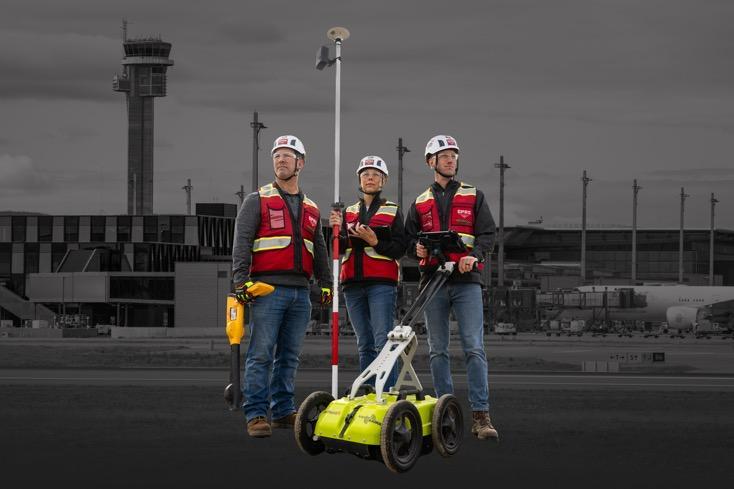
In tackling PFAS contamination at airports, a comprehensive cleanup strategy is imperative. This involves methods such as soil excavation, groundwater treatment, and containment measures. Soil excavation, in particular, plays a crucial role in removing PFAS-contaminated soil layers. However, this process requires careful planning and execution to prevent further environmental damage. Accurate utility locating and detailed maps are indispensable in this regard, ensuring that excavation activities do not inadvertently damage underground infrastructure. Utilizing advanced technologies for utility locating, such as ground-penetrating radar and electromagnetic induction, can aid in identifying subsurface utilities accurately. Additionally, having updated maps that precisely depict the location of underground infrastructure minimizes the risk of disruptions and costly repairs during remediation activities. By prioritizing accurate mapping and utility locating, airports can streamline their cleanup efforts while minimizing potential risks to both the environment and existing infrastructure.
A LUST site refers to a location where there has been a release of hazardous substances from an underground storage tank (UST), leading to contamination of soil, groundwater, or both. LUST stands for "Leaking Underground Storage Tank." These sites pose significant environmental and public health risks, and they require remediation to address the contamination. When a release from an underground storage tank is detected or suspected, the site may be designated as a LUST site. Remediation efforts typically involve assessing the extent of the contamination, containing the spread of the hazardous substances, and implementing cleanup measures to mitigate the environmental impact. LUST sites can vary widely in terms of the types of hazardous substances involved, the extent of contamination, and the complexity of cleanup efforts. They may include locations such as gas stations, industrial facilities, or any other site where underground storage tanks are used to store hazardous materials. Government agencies, such as the Environmental Protection Agency (EPA) in the United States, often oversee the cleanup of LUST sites and may provide guidance and assistance to responsible parties to ensure that remediation is conducted effectively and in accordance with environmental regulations.
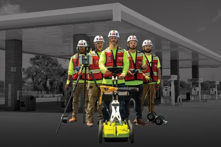
In addressing contamination from leaking underground storage tanks (LUST) at gas stations and other sites, collaboration between environmental companies and gas station owners is essential for effective cleanup. Environmental companies specializing in remediation play a crucial role in conducting site assessments, implementing cleanup plans, and ensuring compliance with environmental regulations. These companies employ various techniques such as soil excavation, groundwater extraction, and treatment to remediate the contaminated areas. However, to ensure the safety and efficiency of remediation activities, accurate utility locating is paramount. Using advanced methods such as CCTV video pipe inspection and ground-penetrating radar helps identify underground utilities and infrastructure, minimizing the risk of damage during excavation. Additionally, having detailed maps that accurately depict the location of underground infrastructure is crucial for planning and executing cleanup efforts. An accurate utility investigation not only safeguards existing infrastructure but also contributes to building a conceptual site model (CSM), which helps in understanding the extent of contamination and guiding remediation strategies. By leveraging these tools and expertise, gas stations and environmental companies can work together to effectively clean up LUST sites while minimizing disruptions and environmental impact.
Soil contamination around Laundromats can occur due to various factors, primarily stemming from the use of chemicals in laundry detergents and cleaning agents. These chemicals can leach into the soil through improper disposal practices, spills, or runoff from washing machines. The most common contaminants found in soil around Laundromats include detergents, bleach, solvents, and other cleaning agents. The problem of soil contamination around Laundromats poses environmental and health risks to surrounding communities. Chemicals present in the soil can seep into groundwater, affecting drinking water sources and potentially harming aquatic ecosystems. Moreover, prolonged exposure to contaminated soil can pose health risks to humans, including skin irritation, respiratory problems, and in severe cases, chronic illnesses. Efforts to remediate soil contamination around Laundromats typically involve a combination of soil testing, cleanup, and mitigation measures. Remediation efforts may include soil excavation, where contaminated soil is removed and disposed of properly, followed by soil replacement or treatment to restore the area to a safe and healthy condition. Additionally, implementing preventive measures such as installing containment systems, proper waste management practices, and using environmentally friendly cleaning products can help minimize the risk of future contamination. Funding for remediation efforts around Laundromats may come from various sources, including government agencies, environmental grants, private companies, and potentially responsible parties. Local environmental agencies or health departments may provide assistance and guidance to affected communities, facilitating cleanup efforts and ensuring compliance with environmental regulations. When efforts or funding are in place to remediate soil contamination around Laundromats, it typically involves a coordinated approach involving stakeholders such as property owners, government agencies, environmental experts, and community members. By addressing soil contamination promptly and effectively, we can mitigate environmental risks, protect public health, and ensure the sustainability of our communities.
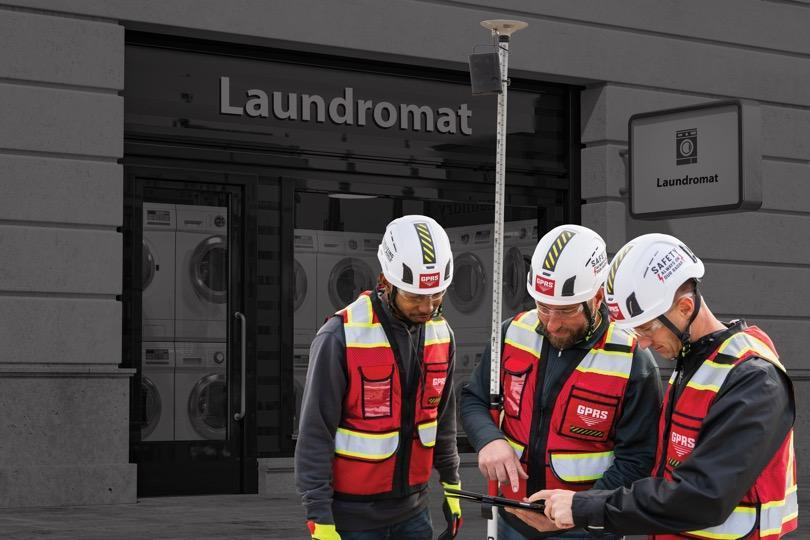
Addressing soil contamination around Laundromats requires a thorough conceptual site model, which relies on accurate utility maps crafted through advanced methods like ground-penetrating radar, electromagnetic locators, and CCTV pipe cameras. These tools enable precise identification of underground infrastructure, minimizing risks during cleanup. Additionally, ongoing monitoring is vital for tracking remediation effectiveness and ensuring long-term environmental safety. Vapor pins and monitoring wells are commonly utilized for continuous soil and groundwater quality assessment, facilitating prompt detection of recontamination or emerging issues. By integrating accurate mapping, advanced monitoring technologies, and regular assessment, stakeholders can effectively manage soil contamination around Laundromats, protecting public health and the environment.
A Superfund site refers to a location designated by the United States Environmental Protection Agency (EPA) as being contaminated by hazardous substances and identified as a candidate for cleanup under the Comprehensive Environmental Response, Compensation, and Liability Act (CERCLA). These sites typically pose risks to human health and the environment due to past industrial activities, improper waste disposal, or accidents involving hazardous materials. The Superfund program was established in 1980 to address the cleanup of the nation's most contaminated sites. Once a site is listed on the National Priorities List (NPL), it becomes eligible for cleanup under the Superfund program. The EPA, along with state and local agencies, conducts investigations to assess the extent of contamination and risks to public health and the environment. Cleanup efforts may involve various techniques, including soil and groundwater remediation, containment, and monitoring. Superfund sites can vary widely in terms of size, complexity, and the types of contaminants involved. Cleanup efforts can span years or even decades, depending on factors such as the severity of contamination, available funding, and community involvement. The goal of the Superfund program is to protect human health and the environment by addressing the legacy of hazardous waste contamination and restoring affected areas to safe and productive use.
Compiling all utility information into a comprehensive utility as-built is vital for the successful remediation of Superfund sites. This document serves as a detailed record of the underground infrastructure, incorporating data from various sources such as ground-penetrating radar (GPR), electromagnetic locators, CCTV video pipe crawlers, and historical maps. By consolidating this information into a single, accessible format, the utility as-built provides a clear overview of the site's utility layout, including pipelines, cables, and other underground structures. A well-organized utility as-built facilitates effective decision-making during the remediation process by enabling stakeholders to accurately assess potential risks, plan excavation activities, and implement appropriate safety measures. Additionally, it serves as a valuable reference for future maintenance and construction projects, reducing the likelihood of accidental damage to underground utilities and minimizing disruptions to ongoing operations. Moreover, maintaining an up-to-date utility as-built ensures that all relevant stakeholders, including regulatory agencies, cleanup crews, and site managers, have access to accurate information regarding the location and condition of underground infrastructure. This promotes transparency, collaboration, and adherence to safety protocols throughout the remediation process.
In conclusion, addressing complex environmental challenges such as PFAS contamination, LUST sites, and soil pollution around Laundromats requires a multifaceted approach that integrates advanced technologies, collaborative efforts, and regulatory frameworks. Remediation efforts, whether at Superfund sites or local contamination hotspots, require accurate mapping of underground utilities and infrastructure. The compilation of this information into comprehensive utility as-builts not only enhances safety and efficiency during cleanup but also serves as a vital resource for future maintenance and construction projects. GPRS is positioned as the industry leader in damage prevention services, existing condition documentation, and construction and facility management services. Furthermore, ongoing monitoring and collaboration among stakeholders are essential for ensuring the long-term success of remediation initiatives, safeguarding public health and the environment for current and future generations. By leveraging innovative solutions and fostering partnerships, we can effectively address environmental contamination and pave the way towards a cleaner, safer world.

Written by
Jason Schaff
Short and Sweet Headlines are Best!
RECENT POSTS


LATEST FROM NO DAMAGE


Share this Post