Working in dense urban environments presents significant challenges for utility locating and safe excavation. Cities like New York, Boston, and others on the East Coast of the U.S. are prime examples of how older, densely populated areas have evolved into complex webs of underground infrastructure. These cities often have multiple layers of utilities—some still in use and others long abandoned—running through a mix of materials like cast iron, lead, steel, and plastic. Add to that the presence of subways, tunnels, and a lack of reliable maps, and the task of locating utilities becomes even more daunting.
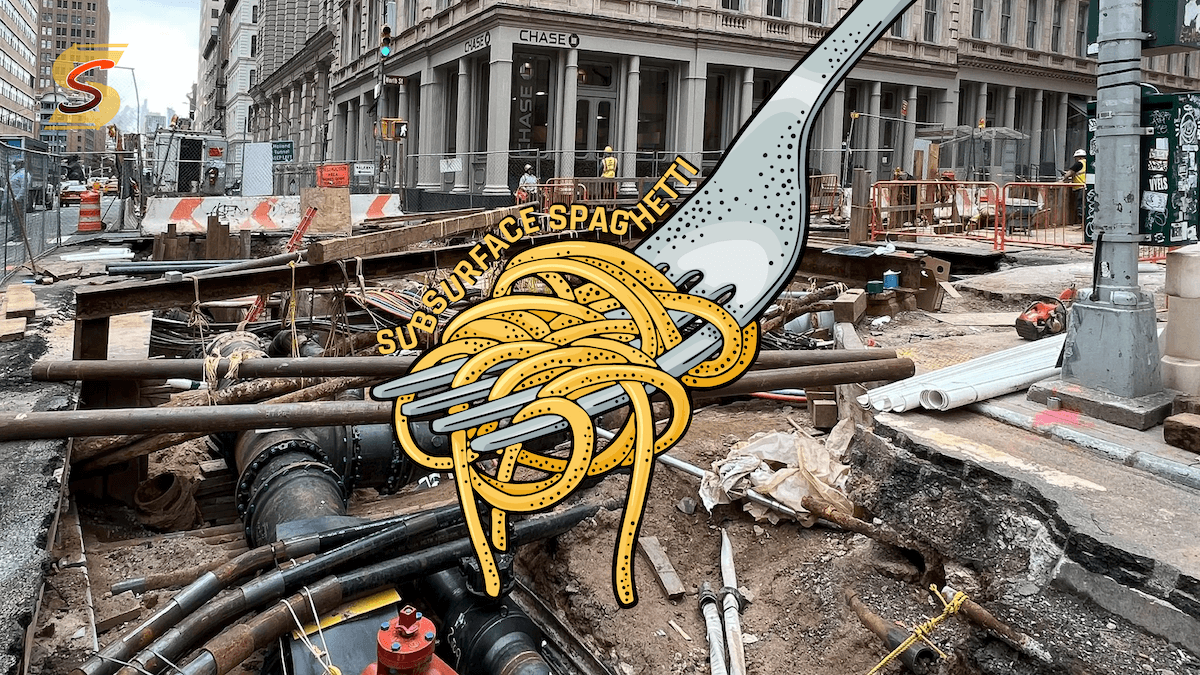
As noted in the article New York’s Subsurface Spaghetti Problem, the underground landscape of New York City is notoriously challenging. Much of the underground infrastructure was built decades, if not centuries, ago, and many utility lines have been left behind or poorly documented. These aging systems can pose a significant risk to excavation projects, as striking an old or unknown utility can lead to project delays, safety hazards, and unexpected costs.
Here are some of the complexities and strategies to overcome them:
Complexity of Congested Underground Networks
In cities, the density of utilities can be staggering. Many urban infrastructures are built layer upon layer, with decades-old systems still in use alongside modern installations. The risk of striking an unknown or misidentified line is much higher here than in suburban or rural areas, where utilities are more spaced out. Inaccurate or outdated maps can complicate locating efforts, making it difficult to know what lies beneath the surface.
One way to mitigate this risk is through Subsurface Utility Engineering (SUE). SUE combines multiple methods, including Ground Penetrating Radar (GPR), electromagnetic locators, and hydro-vacuum excavation, to provide a more accurate picture of underground utilities. By conducting thorough investigations before digging, project managers can avoid damaging critical infrastructure and reduce unexpected surprises. Implementing SUE practices for high-risk sites can also lead to better project planning and fewer delays.
Challenging Soil Conditions
Urban areas often have varied soil compositions, from compacted materials to fill dirt used in construction. These conditions can make it difficult for traditional locating technologies like GPR to provide reliable results, as they perform differently depending on the material. For example, GPR may be less effective in areas with a high clay content or near structures with reinforced concrete.
To combat these challenges, contractors can employ a combination of tools tailored to specific urban conditions. Electromagnetic locators and vacuum excavation can be used in tandem with GPR to cross-check results. Additionally, AI-powered mapping systems are becoming increasingly valuable. These systems can merge historical data, real-time locating results, and predictive algorithms to create more accurate depictions of underground networks.
Space Constraints and Traffic Concerns
In cities, excavation zones are often confined, making it difficult to maneuver equipment or even set up a safe worksite. The proximity of utilities to each other further complicates excavation, requiring extra caution when digging near high-risk areas such as gas mains or power lines. Additionally, road closures and restricted access to critical areas can slow down projects and increase costs.
Non-destructive methods, such as vacuum excavation, provide a solution to these constraints. By using air or water to safely remove soil without damaging underground utilities, contractors can expose utilities in tight urban spaces without disrupting surrounding infrastructure. Vacuum excavation is especially useful in areas where traditional digging methods pose a high risk of strikes. Furthermore, employing flexible work schedules, including off-peak hours, can help mitigate traffic disruption and keep projects on time.
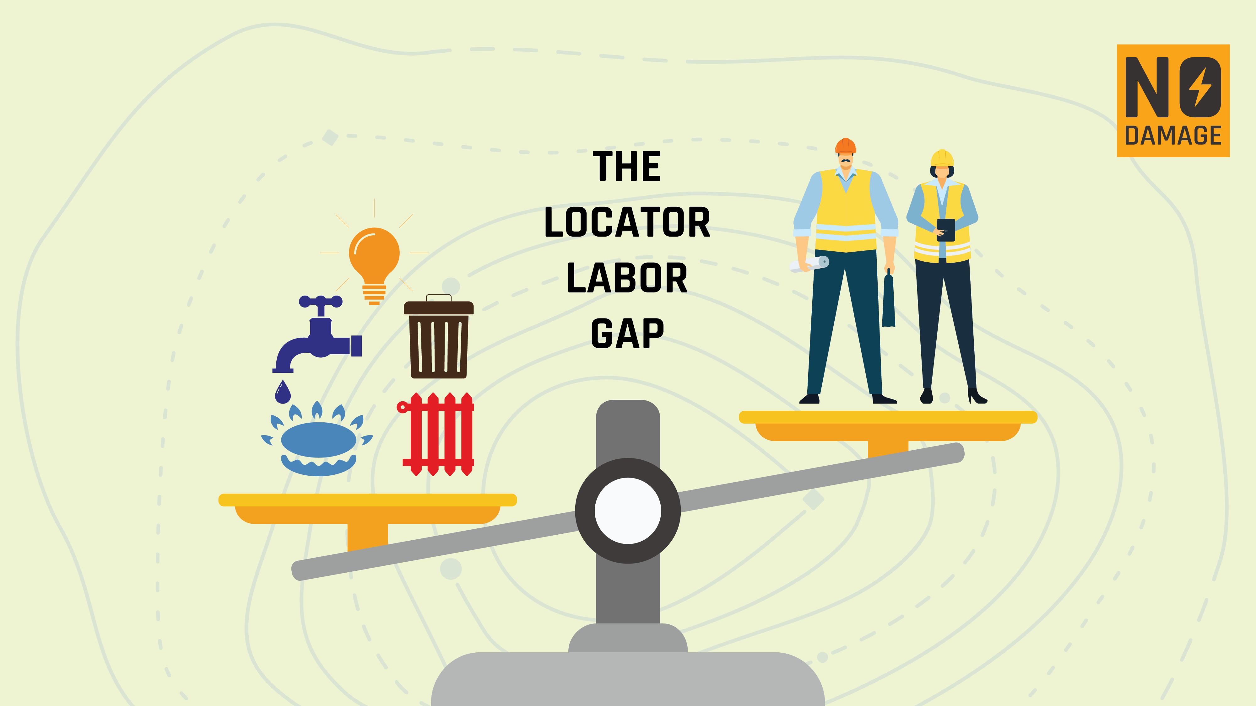
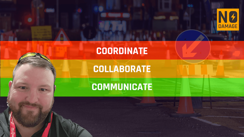
Coordination Between Multiple Stakeholders
Urban utility networks involve many different stakeholders, including utility companies, city agencies, private developers, and contractors. Each party has a vested interest in the safe completion of projects, but communication gaps or conflicting priorities can lead to confusion and errors. (My colleague Kyle, just wrote about this issue, you can read his work here: NoDamage)
In cities where utilities are densely packed and owned by multiple entities, collaboration is key. Chicago has been a leader in reducing damages because they’ve been able to coordinate and collaborate better than other cities due to their unique 811 processes. Adopting a system that facilitates easy communication between all stakeholders can prevent utility strikes and promote project efficiency. The use of centralized ticket management systems like Utilocate can streamline communication by ensuring that all utility owners and contractors have access to the same up-to-date information. While getting all parties to agree on sharing maps is ideal, it's not always immediate. However, in the meantime, sharing other valuable data - like previous incident reports, inspection results, and historical records - can also greatly improve safety outcomes.
ConclusionDamage prevention in dense urban areas presents a unique set of challenges, but with the right strategies and technology, these risks can be mitigated. A comprehensive approach - combining SUE investigations, advanced locating technologies, innovative excavation methods, and robust collaboration - can help ensure safe and efficient projects in even the most congested underground environments. Whether you're dealing with complex utility networks, tight spaces, or multiple stakeholders, taking a proactive stance on damage prevention is the key to success.
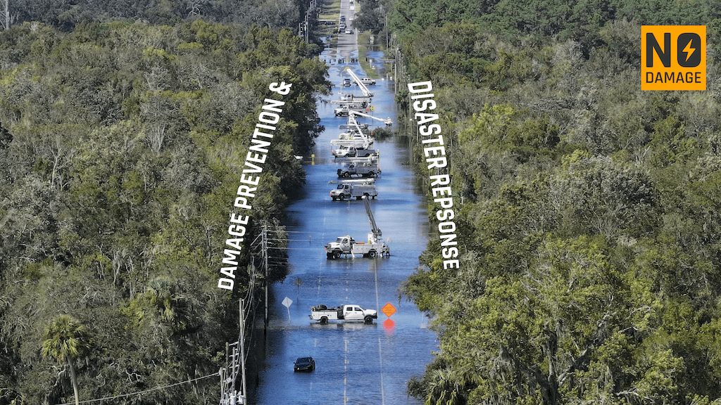
One concept from the New York’s Subsurface Spaghetti Problem article that truly excites me is the utilidor - an underground supply tunnel that can house multiple utilities such as water, electricity, and gas in a single corridor. Although they come with a higher initial setup cost, research from Town+Gown indicates that utilidors significantly reduce long-term maintenance expenses by minimizing the need for frequent roadway excavation and repairs. Plus, the ability to implement real-time monitoring of the utilities flowing through these tunnels enhances reliability and safety.
Imagine the transformative potential of incorporating utilidors into urban redevelopment projects, especially in hurricane-affected areas. Drawing inspiration from the insights shared in the City Journal article, it’s clear that better mapping and utilidor systems could revolutionize how we manage utility networks, allowing cities to anticipate maintenance needs more effectively. The benefits extend beyond just lower maintenance costs; we could pave the way for exciting urban developments like underground plazas, pedestrian pathways, and even trash chutes. It’s time to envision a future where our cities are not only more resilient to storms and flooding but also more efficient and sustainable. If we want to see change, we must be the change!
RECENT POSTS
LATEST FROM NO DAMAGE
Share this Post